ABOUT US….
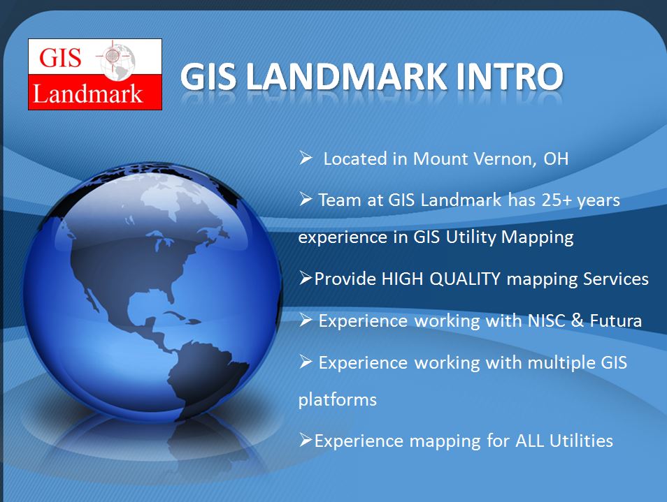
GIS Landmark, located in central Ohio, specializes in utility mapping/Geographic Information Systems and Automated Mapping/Facilities Management. Our main focus at GIS Landmark is to provide quality mapping services and solutions to the utility industry worldwide. GIS Landmark is vendor neutral which means we look at each clients situation and suggest the best solution for their specific needs versus recommending one out-of-the-box solution for all utility companies. At GIS Landmark we realize that every client is unique and what works for one utility mapping project as a solution might not be the best solution for another utility mapping project. GIS Landmark strives to provide the best quality mapping services at a very competitive rate. For more info please contact us at (740) 485-0340 or email us today! Also please check out our Mobile Mapping service here.
“There’s a silent revolution going on. It’s a revolution that impacts each of our lives, although few of us have heard anything about it. It affects the rates we pay for utility services and the quality of our roadways. It can influence the speed with which emergency vehicles respond to our calls and how quickly criminals are put behind bars. It can help prevent famine, blight, and pestilence. It has played an instrumental role in planning and fighting wars and then rebuilding war- torn communities. It is being used for applications as far flung as finding delinquent tax-payers, developing pizza delivery routes, and setting insurance rates. It’s even being used to increase the impact of “junk” mail you receive. The basis for this silent revolution is a technology called GIS–an acronym for Geographic Information Systems.”–Business Week, July, 1991