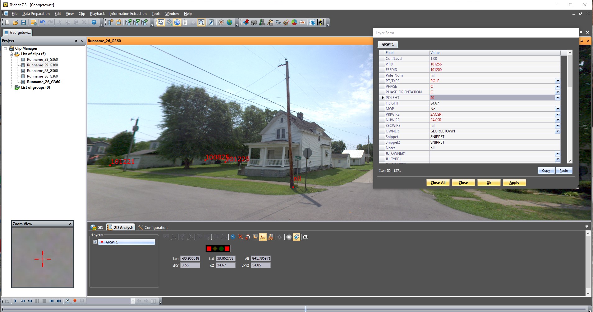
GIS Landmark works with municipals to map their utility feature points and create network flow models. GIS Landmark currently working on projects using a combination of our mobile mapping system (shown above) along with boots on the ground method of collection.
Utility Mapping Services